Contacto : cgeofisica@gmail.com

Ciencia y Geofísica

Grupo IGPERU

Ciencia y Geofísica

facebook
instagram
linkein
whatsapp
  • Meteorología y Climatología

    Estudiamos el comportamiento de los fenómenos atmosféricos!

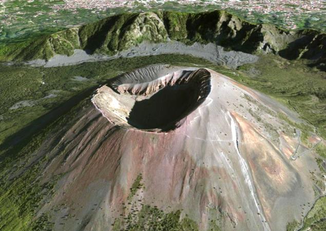
  • Volcanología

    Estudiamos el comportamiento de los volcánes!

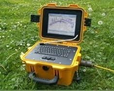
  • Prospección Geofísica

    Estudiamos técnicas físicas y matemáticas, aplicadas a la exploración del subsuelo para la búsqueda de recursos naturales y yacimientos minerales.

  • Geotermia

    Estudiamos los fenómenos térmicos que tienen lugar en el interior de la Tierra.

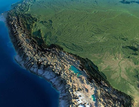
  • Tectonofísica

    Estudiamos la dinámica y cinemática de los procesos que deforman a la litosfera mediante métodos cuantitativos.

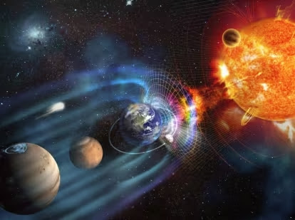
  • Geomagnetismo

    Estudiamos las propiedades magnéticas de la Tierra.

  • Inteligencia Artificial

    Aplicando los conocimientos en Inteligencia Artificial para convertir la Geofísica más inteligente.

GEOFISICA - IMPACTO AMBIENTAL


It is remarkable that due to the presence of COVID-19 on our planet many things have changed, in addition to our habits in a personal and collective way, but even so despite this, our planet has had a respite, a period of rest time , making this opportunity a clear sign of the decrease in environmental pollution.

This is because various industries and companies have stopped their productions. The rates that were shown in times before COVID-19 had been high, but now due to the presence of COVID-19 these rates have decreased considerably. These indices can be plotted on a global "Nitrogen Dioxide" pollution map, from Europe to America. We can see the presence of this pollutant in a red hue in the various cities of any country.

This data is provided by ESA, the European Space Agency, publicly. The data presented has a period of 14 days. This online platform uses data from the Copernicus Sentinel-5P satellite. As if it were a Google Maps map, we can increase and decrease the map, move from one place to another and visualize the concentration of NO2 present. We can also change the dates of the visualization of these data to compare them over time, always remembering that they are for periods of 14 days. We share the link so that you can view the NO2 POLLUTION MAP. You can also view the map FROM HERE. (Wait 5 seconds of advertising)

We leave you some maps prepared by this online application, detailing the date range for each area studied. It is also worth mentioning that we will prepare the maps for each continent so that they can be downloaded from this post or by entering our download area for geophysicists.

NO2 Pollution Map in Africa

NO2 Pollution Map in South America
NO2 Pollution Map in Asia


NO2 Pollution Map in Central America

NO2 Pollution Map in Europe

NO2 Pollution Map in North America

NO2 Pollution Map in Oceania

Remember that Nitrogen Dioxide is a by-product of combustion at high temperatures, as in motor vehicles and power plants. For this reason it is a frequent pollutant in urban areas, mainly affecting the respiratory system. (1) It should also be noted that these images can be used for research on Environmental Impact.

BIBLIOGRAPHIC REFERENCE
(1) https://es.wikipedia.org/wiki/Di%C3%B3xido_de_nitr%C3%B3geno
(2) http://www.esa.int/Space_in_Member_States/Spain/Disponibles_mapas_globales_de_contaminacion_del_aire
It is natural that when we study the subsoil by injecting current, we must measure with specialized equipment the potential difference between the electrodes that we are using, to determine our apparent resistivity. In order to determine all this, we must make use of elementary mathematics and physics, which the geophysicist must always bear in mind when starting a geophysical study using any geoelectric method.

One of the considerations that we must bear in mind before injecting current into the ground is that we have to have our theoretical physical formulas well defined, one of which corresponds to Ohm's law, since the method of electrical resistivity in direct current is governed by this same law.
So what determines Ohm's Law when a flow of electrical current passes through rocks or sediments?

Ohm's General Law establishes that the potential drop ΔV between two points through which an electric current of intensity "I" circulates, is proportional to this and to the resistance "R" offered by the medium to the passage of the current (1) as expressed by the following equation:

The units of these values ​​correspond to ohms, volts, and amps. Where we determine the volts for the potential difference. Amps for the current and ohms for resistance.

How is this equation proven?

Experimentally, it is shown that the intensity of the current that passes through a body per unit section is linearly proportional to the potential gradient (ΔV / Δl). Therefore, for any section, it will be:

where C, is the conductivity of the material, which is a constant of proportionality.

The Resistance "R" that a body opposes to the passage of electric current is directly proportional to the length and inversely proportional to the section. The constant of linear proportionality ρ (ro) is the resistivity, which is a characteristic parameter of each material.

solving and replacing we have the definition of ohm's law.

In the case of electrical prospecting studies, such as the case of Vertical Electrical Probes, and taking into account an isotropic medium, we can use Ohm's Law to calculate the resistance, multiplying it by the geometric factor of the tetraelectrodic device. Since we are injecting current into the subsoil through our poles that we have installed in the ground and at certain distances from the source of current injection. Likewise, we can measure the intensity of current that the equipment is throwing, the resistance offered by the ground and its potential difference. In this way, we can calculate with the help of our geometric factor the apparent resistivity through which the electric current circulates in the subsoil, in order to determine the type of material that exists at certain depths of study.

BIBLIOGRAPHIC REFERENCES
(1) http://tierra.rediris.es/hidrored/ebooks/miguel/ProspeccGeoelec.pdf

STUDY / SUPPORT MATERIAL

Descárgalo (espera 5 seg. publicidad)


Every geophysicist should always have his own work tools. One of them is to have the use of specialized software to solve various problems that are under study. Depending on the type of work or the area in which we are specializing, we will use this or that work tool. In the case of hydrogeological studies, a good package and / or development software is Modflow, which is a finite difference flow modeler, where it consists of a source code that solves the groundwater flow equation through interactions.


With Modflow we can simulate the underground flow of an aquifer. To do this, Modflow uses the flow equation for groundwater using finite differences. Then, we must take into account the following: the partial differential equation that governs the flow of groundwater and used in Modflow is the general equation of flow, in transitory regime in a heterogeneous and anisotropic medium. (1)

Here we leave you some tutorials made with Modflow where different work topics are explained.

MODFLOW TUTORIALS


You can also view more videos in our geophysical videos section.

REFERENCIAS BIBLIOGRÁFICAS
(1) https://es.wikipedia.org/wiki/Modflow#:~:text=MODFLOW%20es%20un%20modelador%20de,flujo%20subterr%C3%A1neo%20de%20cualquier%20acu%C3%ADfero.


GEOFÍSICA - SOFTWARE GEOFÍSICO

Todo geofísico debe tener siempre sus propias herramientas de trabajo. Una de ellas es contar con el uso de software especializado para resolver diversos problemas que se encuentran en estudio. Dependiendo del tipo de trabajo o el área en que nos estemos especializando, utilizaremos tal o cual herramienta de trabajo. Uno de los tantos software existentes para estudios hidrogeológicos que podemos utilizar para complementar nuestros informes de trabajo es Modflow, el cual es un modelador de flujo por diferencias finitas, el cual consiste de un código fuente que resuelve mediante interacciones la ecuación de flujo del agua subterránea.

Con Modflow podemos simular el flujo subterráneo de un acuífero. Para ello, este programa utiliza la ecuación de flujo para agua subterránea usando diferencias finitas. Entonces, debemos tener en cuenta lo siguiente: la ecuación parcial diferencial que gobierna el flujo de agua subterránea y usada en Modflow es la "ecuación general de flujo", en régimen transitorio en medio heterogéneo y anisotrópico. (1) Algunos de los trabajos de investigación que podemos tratar con el paquete Modflow es el Modelamiento de Aguas Subterráneas, el transporte de contaminantes, Análisis de Pozos o Caudal de Bombeo.  Aquí les dejamos unos tutoriales realizados con Modflow donde se explica diferentes temas de trabajo.

TUTORIALES DE MODFLOW

1. Modelamiento Regional de Aguas Subterráneas.
    Obtén su código de inserción
2. Curso MODFLOW Cl-1 Instalación y descripción de Model Muse
    Obtén su código de inserción

3. Tutorial de modelamiento de transporte de contaminantes con MODFLOW
    Obtén su código de inserción

4. Tutorial para el Modelamiento y Análisis de Interferencia de Pozos con MODFLOW
    Obtén su código de inserción
5. Tutorial de Determinación de Máximo Caudal de Bombeo con MODFLOW
    Obtén su código de inserción

También puedes visualizar más vídeos en nuestra sección de vídeos geofísicos.

REFERENCIAS BIBLIOGRÁFICAS
(1) https://es.wikipedia.org/wiki/Modflow#:~:text=MODFLOW%20es%20un%20modelador%20de,flujo%20subterr%C3%A1neo%20de%20cualquier%20acu%C3%ADfero.

GEOFÍSICA - PROSPECCIÓN GEOFÍSICA

Es natural que cuando estudiamos el subsuelo inyectando corriente, debemos medir con equipos especializados la diferencia de potencial entre los electrodos que estamos utilizando, para determinar nuestra resistividad aparente. Para poder determinar todo ésto, debemos de hacer uso de matemáticas y física elemental, lo cual el geofísico debe tener siempre presente a la hora de empezar un estudio geofísico utilizando cualquier método geoeléctrico.

Una de las consideraciones que debemos tener presente antes de inyectar corriente al terreno, es que tenemos que tener bien definida nuestras fórmulas físicas teóricas, la cual una de ellas corresponde a la ley de Ohm, ya que el método de resistividad eléctrica en corriente continua está regida por esta misma ley.
Entonces, ¿Qué determina la Ley de Ohm cuando un flujo de corriente eléctrica atraviesa las rocas o los sedimentos?

La Ley General de Ohm establece que la caída de potencial ΔV entre dos puntos por los que circula una corriente eléctrica de intensidad "I", es proporcional a ésta y a la resistencia "R" que ofrece el medio al pasaje de la corriente (1) como lo expresa la siguiente ecuación:

Las unidades de éstos valores corresponden a ohmios, voltios y amperios. Donde determinamos los voltios para la diferencia de potencial. Amperios la intensidad de corriente y ohmios para la resistencia.

¿Cómo se demuestra ésta ecuación?

Experimentalmente se demuestra, que la intensidad de corriente que atraviesa un cuerpo por unidad de sección es linealmente proporcional al gradiente del potencial (ΔV/Δl). Por tanto, para una sección cualquiera, será:
donde C, es la conductividad del material, la cual es una constante de proporcionalidad.

La Resistencia "R" que opone un cuerpo al paso de la corriente eléctrica es directamente proporcional a la longitud e inversamente proporcional a la sección. La constante de proporcionalidad lineal ρ (ro) es la resistividad, la cual es un parámetro característico de cada material.
despejando y reemplazando tenemos la definición de la ley de ohm.

En el caso de estudios de prospección eléctrica, como el caso de los Sondajes  Eléctricos Verticales,  y teniendo en consideración un medio isótropo podemos usar la Ley de Ohm para calcular la resistencia, a lo que lo multiplicamos por el factor geométrico del dispositivo tetraelectródico. Ya que que estamos inyectando corriente al subsuelo a través de nuestros polos que hemos instalado en el suelo y a determinadas distancias de la fuente de inyección de corriente. Así mismo, podemos medir, la Intensidad de corriente que está arrojando el equipo, la resistencia que ofrece el terreno y su diferencia de potencial. De esta manera, podemos calcular con ayuda de nuestro factor geométrico la resistividad aparente por donde circula la corriente eléctrica en el subsuelo, para poder determinar el tipo de material que existe en determinadas profundidades de estudio.

REFERENCIAS BIBLIOGRÁFICAS
(1) http://tierra.rediris.es/hidrored/ebooks/miguel/ProspeccGeoelec.pdf

MATERIAL DE ESTUDIO/APOYO

Descárgalo (espera 5 seg. publicidad)