


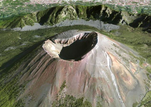


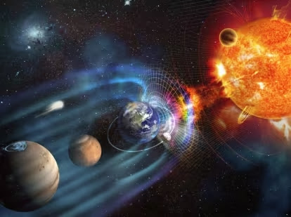


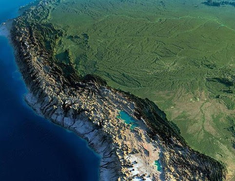


GEOPHYSICS
It is true that one of the important tools for a geophysicist are software, programs or packages and that they themselves help us in the work itself whether in the field or in the laboratory. These packages or softawre can have a wide range of options and processes that help in the work, and it is correct to affirm that more than once we deny these softwares to be able to make a good report in our final work. But choosing the right program should depend on several factors such as our understanding of the package, optimal and reliable results, and of course the type and quality of interpretation that we contribute to the work using the software.
Geophysical software exists a lot. The difference between each of them varies depending on the programmer and the field knowledge that the developer can have with respect to the analysis that is geophysical. In all areas of Geophysics there is software for each task. The most common that we will find are in the areas of seismology, prospecting, geotechnics, soil and rock mechanics, meteorology and climatology and volcanology. Rather, access to most of them is difficult, since some have a license to pay, software of a company itself. The rest are of public use as freeware or demo versions where we can test the operation, appearance and way of working of the package and then acquire them when making a payment for it.
Now, which is also true that we need to work with geophysical software when we have to perform extensive calculations difficult to develop manually. There is no other than using the package. Tasks such as data migration, mathematical calculations, mathematical theorems, data convolution, matrix operations, data deconvolution, data inversion, data correction, infinitesimal calculations, point digitization, topographical corrections, fourier analysis, transform or spectral analysis Are just some examples of our obligation to use software to help us perform those tasks.
We can also classify geophysical software in different ways. Among them we can find data visualization software, visualization of images, processing and analysis of geophysical data, geophysical modeling. The use of them will depend on the type of work we are doing and obviously the area of Geophysics in which we are working.
What we must keep in mind is that more than a support tool for our analysis we should not rely on everything to the software. We are the ones who must give the necessary geophysical interpretation and that is only obtained through experience.


